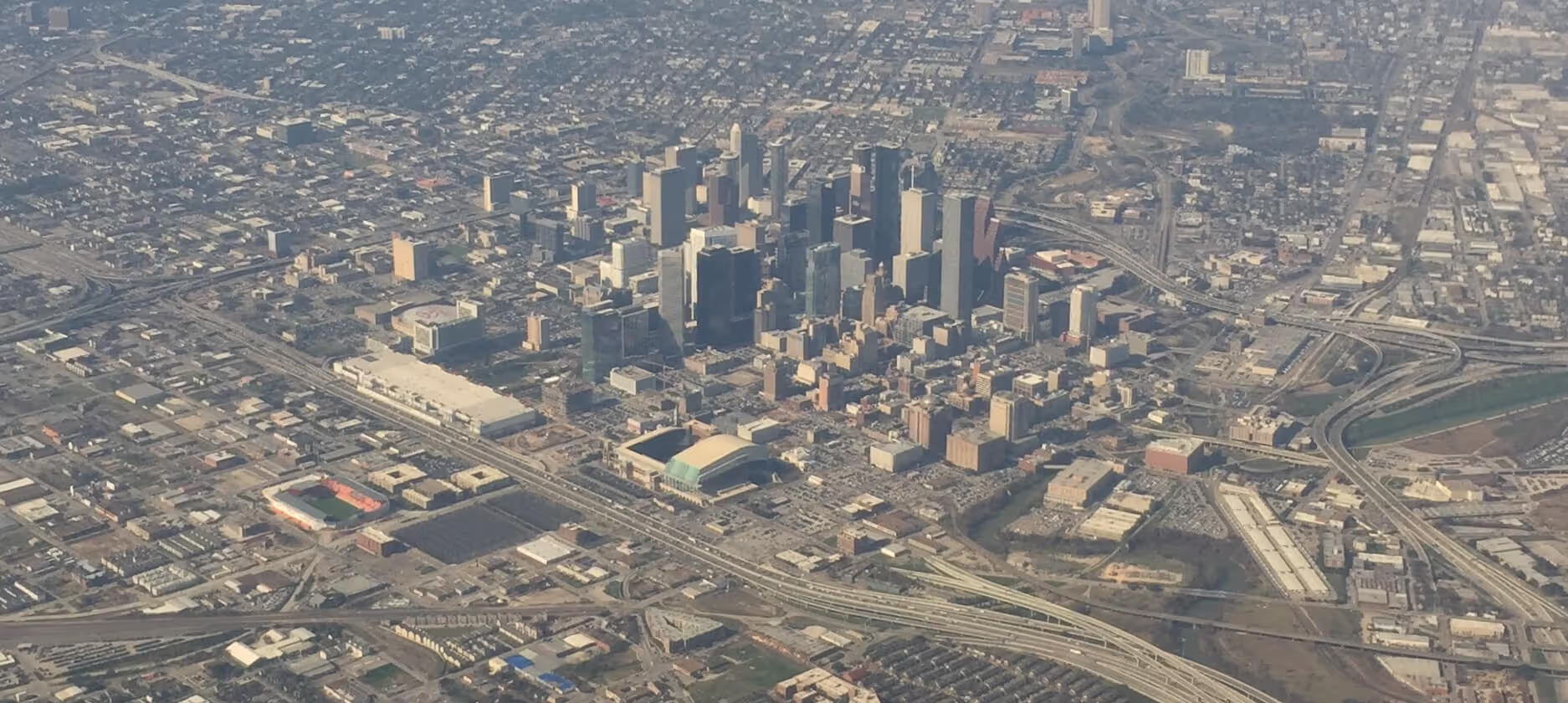
We collect, process, and deliver aerial data across Texas and the greater South. Data is delivered in the exact formats you need for your existing software. Seamless integration, uncompromising accuracy.





You don't need to buy a drone or hire a full-time pilot to offer premium aerial mapping. We act as your dedicated, in-house drone department. From airspace authorization and flight execution to rigorous RTK/PPK data processing, we handle the aerial data so you can focus on the rest.
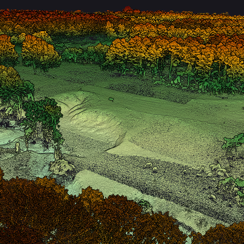
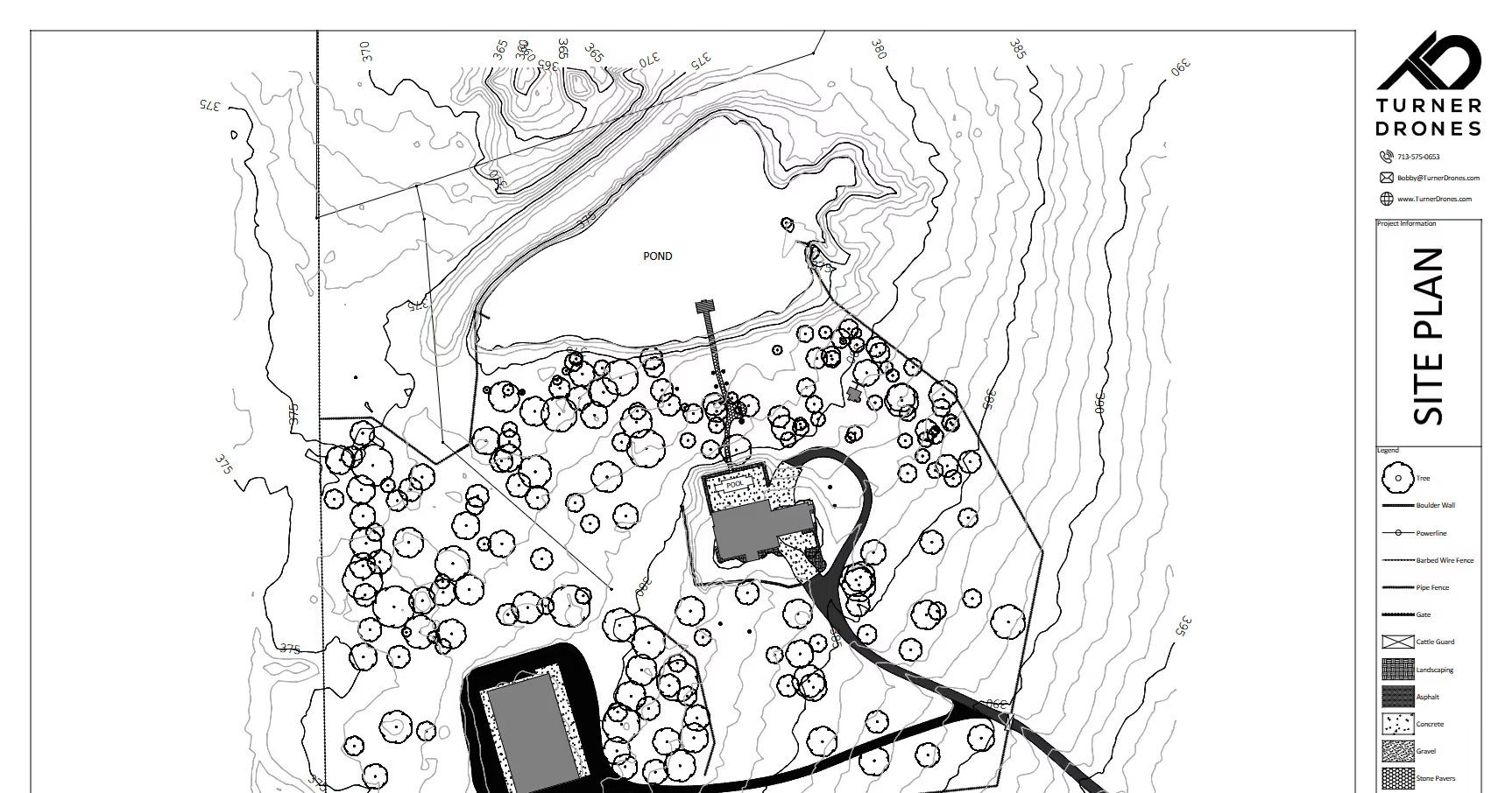
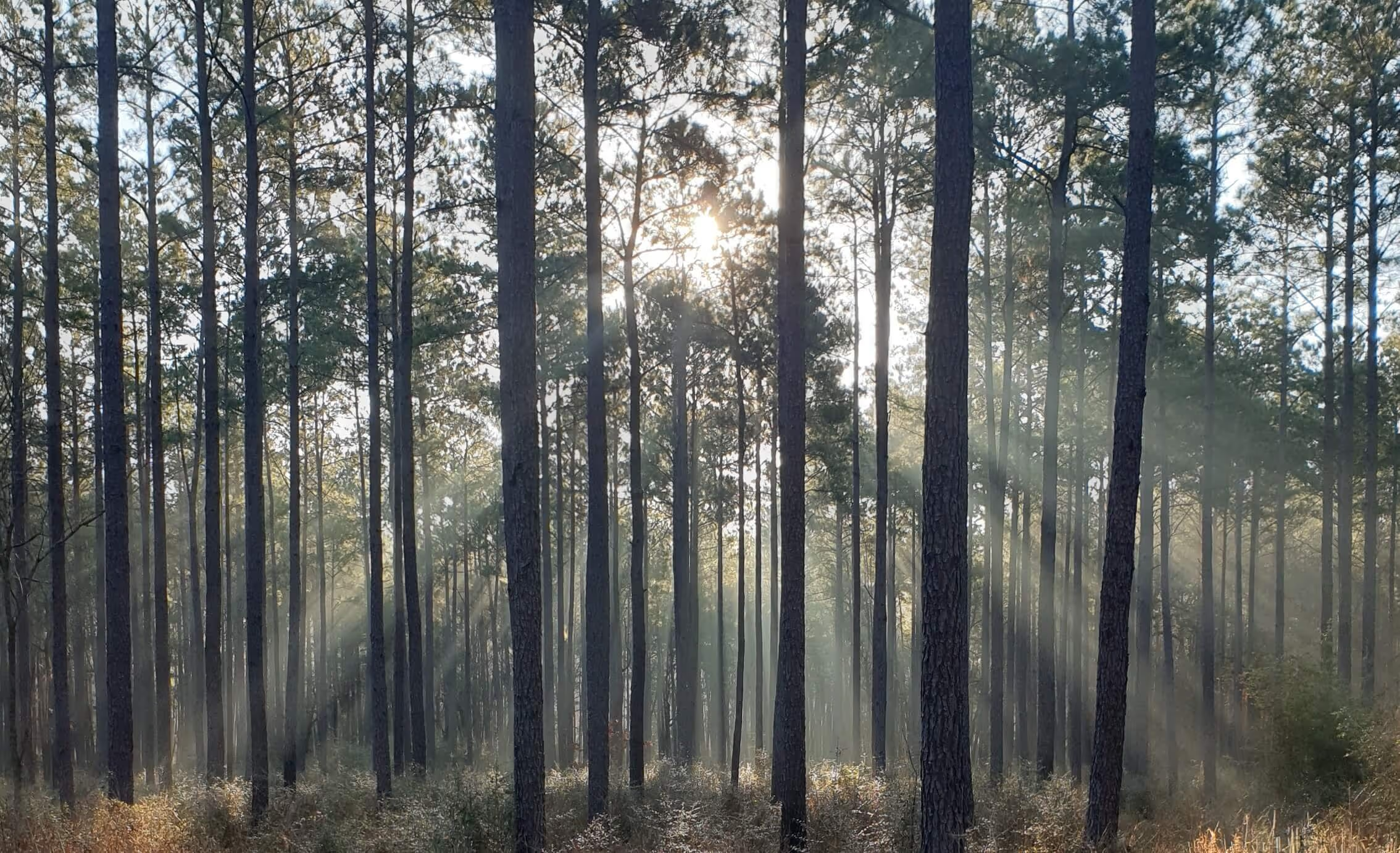
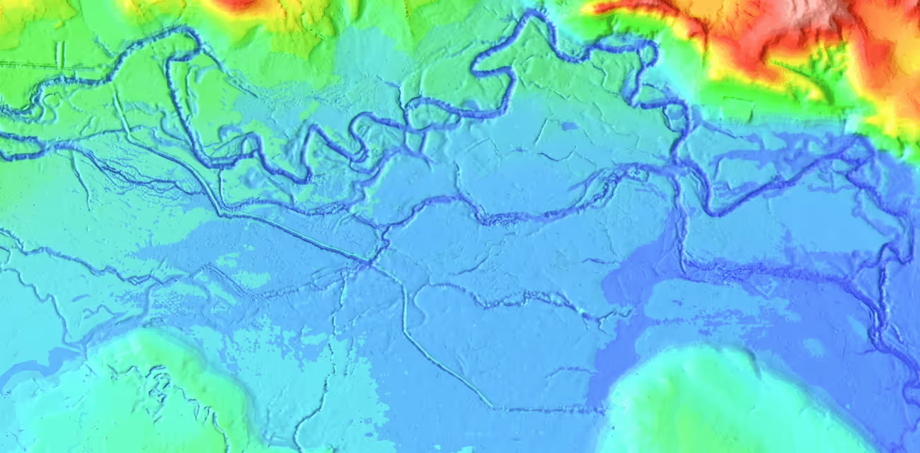
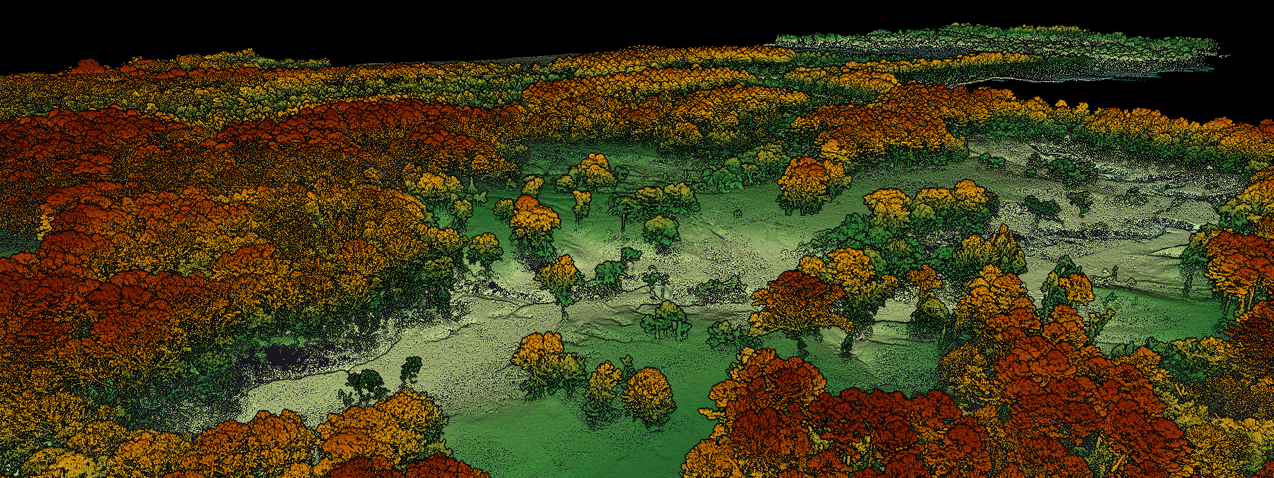
Penetrate dense vegetation and map massive sites with verifiable accuracy. Our multi-return UAV lidar system captures millions of data points to deliver bare-Earth Digital Terrain Models (DTMs), precise topographic contours, CAD-ready .LAS files, and more.
Learn more about our Lidar Services →
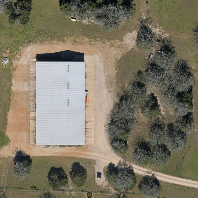
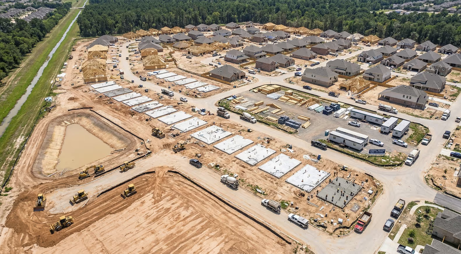
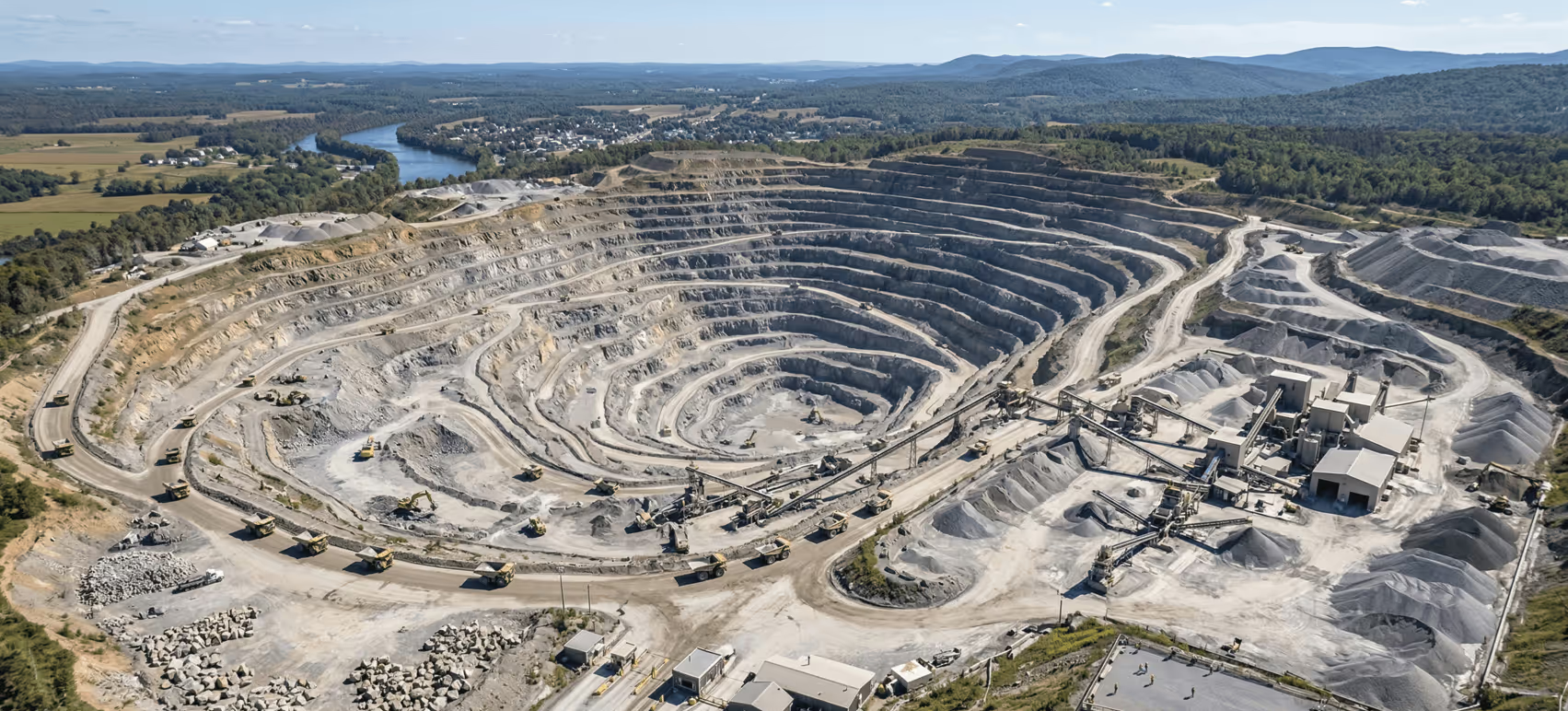
Capture photorealistic 3D site data with sub-centimeter Ground Sample Distance (GSD). We deploy full-frame, distortion-free sensors to generate high-resolution orthomosaics, 3D reality meshes, and precise cut/fill volumetric calculations for active construction and site planning.
Learn more about our Photogrammetry Services →
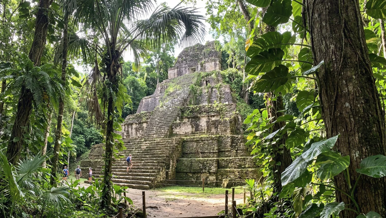
We tailor our data deliverables to meet the exact specifications of your field.
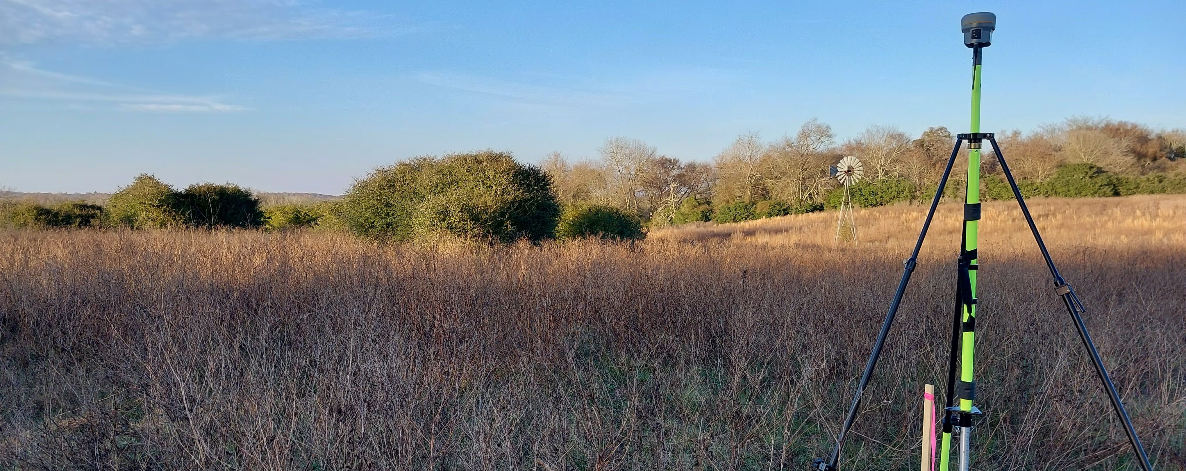
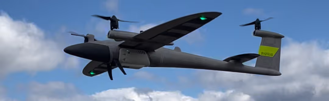
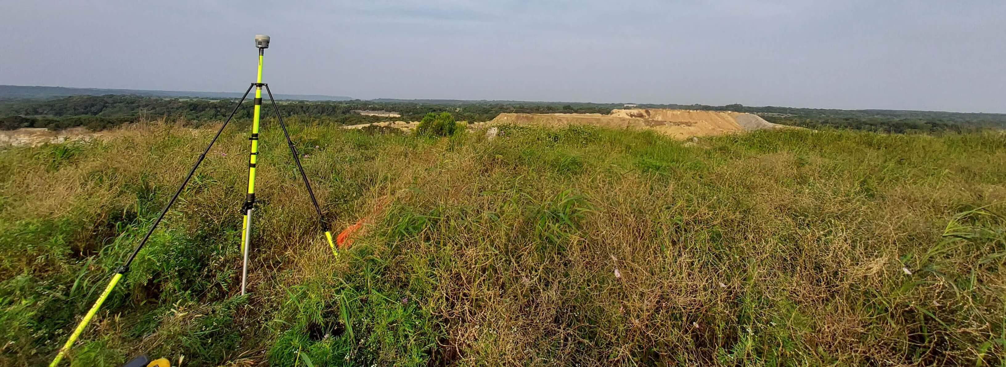
Great data starts with great hardware. We fly the Quantum Systems Trinity Pro, a VTOL (Vertical Take-Off and Landing) fixed-wing drone capable of mapping massive areas efficiently. Combined with PPK processing and RTK ground shots via our Trimble R10, we ensure your data is as accurate and precise as possible.
View Our Full Equipment Specs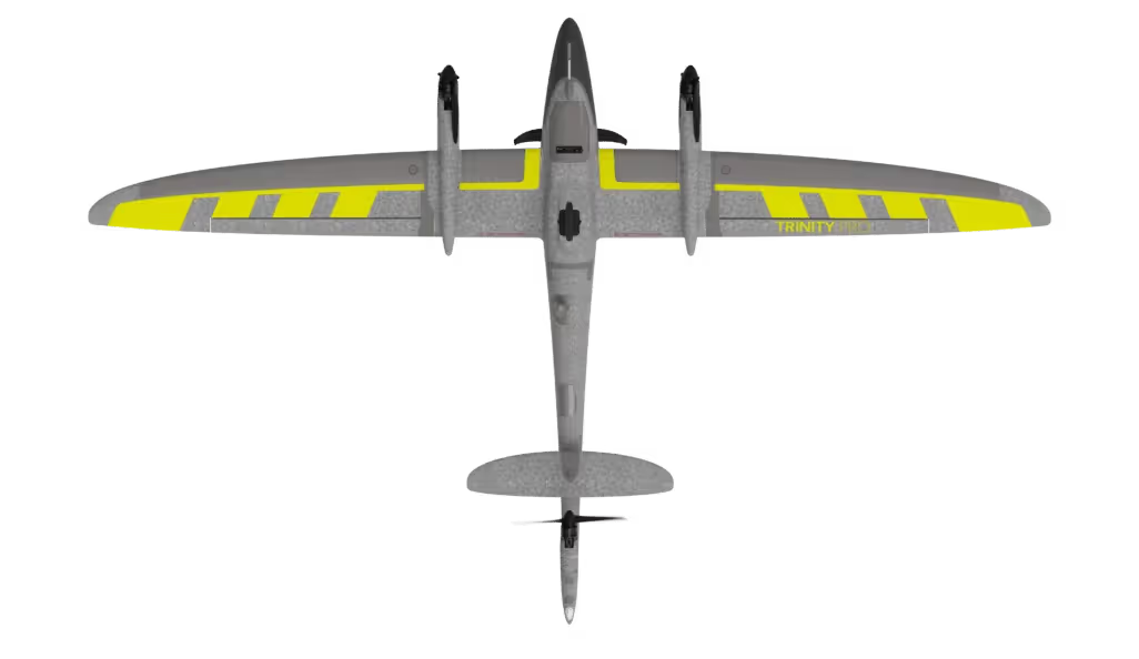
From our headquarters in Houston, our dispatch team is ready to provide a custom flight plan and mobilization estimate for your site, whether it is right here in Texas or across the country. Submit your project details below.